 DatARA
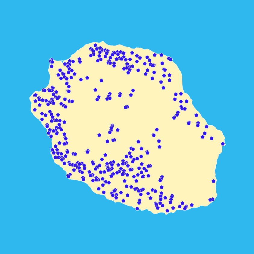
Points d'eau isolés - Réunion 2012 - BD Carthage
Un point d'eau isolé est un point d'eau non susceptible d'être relié au réseau hydrographique ; il s'agit des objets suivants, situés sur le territoire national :
- réservoirs et châteaux d'eau ;
- stations de pompage et de traitement des eaux.
Un point d'eau isolé est localisé par un sommet géométrique.
Simple
- Date (Revision)
- 2012-08-17
- Edition
-
2012
- Citation identifier
- http://www.sandre.eaufrance.fr/?urn=urn:sandre:donnees:PointEauIsole:REU:::ressource:2012:::html
- Presentation form
- Digital map
- Status
- Completed
- Point of contact
-
Organisation name Individual name Electronic mail address Role SANDRE
Processor DEAL Réunion
Point of contact
- Maintenance and update frequency
- Irregular
-
external.theme.gemet-theme
-
-
politique de l'environnement
-
- Theme
-
-
EAU DE SURFACE
-
données ouvertes
-
hvd
-
-
GEMET - INSPIRE themes, version 1.0
-
-
Hydrographie
-
- Place
-
-
FRANCE
-
REUNION
-
-
external.theme.sie.typologie.nature
-
-
Données de références (référentiels, vocabulaire contrôlé)
-
-
external.theme.sie.typologie.milieu
-
-
Eaux intérieures de surface (rivières et lacs)
-
- Keywords
-
-
BD Carthage
-
-
High-value dataset categories
-
-
Observation de la terre et environnement
-
- Use limitation
-
Licence Ouverte Etalab, https://www.etalab.gouv.fr/licence-ouverte-open-licence
- Access constraints
- Other restrictions
- Use constraints
- License
- Other constraints
-
Pas de restriction d'accès public
- Spatial representation type
- Vector
- Denominator
- 50000
- Language
-
fre
- Character set
- UTF8
- Topic category
-
- Inland waters
))
- Reference system identifier
- RGR92 / UTM zone 40S (EPSG 2975)
- Distribution format
-
Name Version ESRI Shapefile
1998
ArcInfo e00
Unpublished
MIF / MID
MapInfo 10
- OnLine resource
-
Protocol Linkage Name WWW:LINK-1.0-http--link
https://id.eaufrance.fr/ddd/eth/2002-1 Consulter le dictionnaire "Référentiel hydrographique (ETH)" sur le site Sandre
WWW:LINK-1.0-http--link
https://www.sandre.eaufrance.fr/sites/default/files/IMG/pdf/1-DC_BDCARTHAGE_3_0.pdf Consulter le descriptif de contenu de la BD CARTHAGE
WWW:LINK-1.0-http--link
https://services.sandre.eaufrance.fr/telechargement/geo/ETH/BDCarthage/REU/2012/arcgis/POINT_EAU_ISOLE_REU-shp.zip Téléchargement des données - Format ESRI Shapefile
WWW:LINK-1.0-http--link
https://services.sandre.eaufrance.fr/telechargement/geo/ETH/BDCarthage/REU/2012/mapinfo/POINT_EAU_ISOLE_REU-mif.zip Téléchargement des données - Format MIF/MID
- Hierarchy level
- Dataset
- Statement
-
La BDCarthage Réunion est maintenue par la DEAL Réunion.
Metadata
- File identifier
- cd6f9f6e-dcc1-4e09-8a95-8c051d31cdbb XML
- Metadata language
-
fre
- Character set
- UTF8
- Hierarchy level
- Dataset
- Hierarchy level name
-
dataset
- Date stamp
- 2024-06-03T12:21:55.147Z
- Metadata standard name
-
ISO 19115:2003/19139
- Metadata standard version
-
1.0
- Metadata author
-
Organisation name Individual name Electronic mail address Role SANDRE
Point of contact
Overviews
Spatial extent
Provided by
