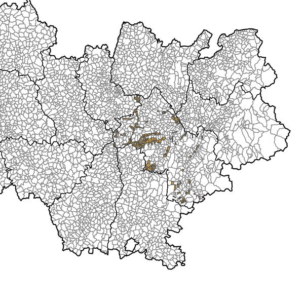
Zones ayant fait l'objet d'un aménagement foncier - Isère.
Zones ayant bénéficié d'une opération : * par arrêté préfectoral (jusqu'en 2005) -réorganisation foncière -remembrement -aménagement foncier forestier -aménagement foncier agricole et forestier -mise en valeur des terres incultes ou manifestement sous exploitées * par décision du Président du Conseil Général (à partir de 2006) -aménagement foncier agricole et forestier -échanges et cessions amiables d'immeubles ruraux -mise en valeur des terres incultes<BR> On distinguera i)les opérations en cours et les opérations terminées ii)les opérations dites "article 10" réalisées en application des articles L123-24 à L123-26 du code rural.
Simple
- Date (Publication)
- 2014-02-04T14:47:00
- Date (Revision)
- 2022-05-19T11:38:44
- Date (Creation)
- 2005-12-15
- Citation identifier
- https://catalogue.open-datara.fr/geonetwork/srv/c4af09fd-cd77-441a-8c36-6fb7396344ed
- Point of contact
-
Organisation name Individual name Electronic mail address Role DDT 38 (Direction Départementale des Territoires de l'Isère)
SIG central et Observatoire
Owner
- Place
-
-
ISERE
-
-
GEMET - INSPIRE themes, version 1.0
-
-
Usage des sols
-
-
OPENDATA
-
-
données ouvertes
-
-
Domaines
-
-
Foncier agricole
-
Grand public
-
DDT Isère
-
Spécification nationale
-
- Use limitation
-
Licence Ouverte / Open Licence Version 2.0 https://www.etalab.gouv.fr/wp-content/uploads/2017/04/ETALAB-Licence-Ouverte-v2.0.pdf
- Access constraints
- Intellectual property rights
- Use constraints
- Copyright
- Other constraints
-
Pas de restriction d’accès public selon INSPIRE
- Classification
- Unclassified
- Spatial representation type
- Vector
- Denominator
- 2500
- Language
-
fre
- Character set
- UTF8
- Topic category
-
- Planning cadastre
- Description
-
Département de l'Isère
))
- Begin date
- 2005-12-15
- Reference system identifier
- EPSG / RGF93 / Lambert-93 (EPSG:2154) / 7.4
- Distribution format
-
Name Version ZIP
8.0
- OnLine resource
-
Protocol Linkage Name OGC:WFS-1.0.0-http-get-capabilities
https://carto.open-datara.fr/cgi-bin/mapservwfs? n_amenag_foncier_zinf_s_038
WWW:LINK-1.0-http--link
https://catalogue.open-datara.fr/rss/atomfeed/atomdataset/c4af09fd-cd77-441a-8c36-6fb7396344ed Accès au lien ATOM de téléchargement
OGC:WMS-1.1.1-http-get-map
https://datacarto.open-datara.fr/wms?service=WMS&request=GetCapabilities n_amenag_foncier_zinf_s_038
WWW:DOWNLOAD-1.0-http--download
https://telechargement.open-datara.fr/download/c4af09fd-cd77-441a-8c36-6fb7396344ed Accès au téléchargement des données
WWW:LINK-1.0-http--link
https://catalogue.open-datara.fr/geosource/consultationWMS?IDT=10237032 Accès à la visualisation des données
- Hierarchy level
- Dataset
- Statement
-
Par agrégation des communes du référentiel géographique
Sources des données : BD Carto
n_amenag_foncier_zinf_s_038
Metadata
- File identifier
- c4af09fd-cd77-441a-8c36-6fb7396344ed XML
- Metadata language
-
fre
- Character set
- UTF8
- Hierarchy level
- Dataset
- Date stamp
- 2024-08-08T11:38:25
- Metadata standard name
-
ISO 19115:2003/19139
- Metadata standard version
-
1.0
- Metadata author
-
Organisation name Individual name Electronic mail address Role DDT 38 (Direction Départementale des Territoires de l'Isère)
SIG central et Observatoire
Owner
Overviews

Spatial extent
Provided by
