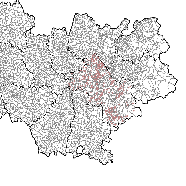
Stations d'épuration localisées ponctuellement - Isère
Stations d'épuration des eaux usées domestiques (par différence avec les stations d'épuration des eaux industrielles)
Simple
- Date (Revision)
- 2021-05-04T11:03:45
- Date (Publication)
- 2014-04-11T05:58:00
- Date (Creation)
- 2013-03-08
- Citation identifier
- https://catalogue.open-datara.fr/geonetwork/srv/afcbd4f3-7a27-46bf-9330-b4c61f25d930
- Point of contact
-
Organisation name Individual name Electronic mail address Role DDT 38 (Direction Départementale des Territoires de l'Isère)
Bureau SIG central et Observatoire
Point of contact
- Place
-
-
ISERE
-
-
GEMET - INSPIRE themes, version 1.0
-
-
Hydrographie
-
-
OPENDATA
-
-
données ouvertes
-
-
theme.prodige.rdf
-
-
DDT Isère
-
Assainissement
-
Spécification nationale
-
Grand public
-
- Use limitation
-
Licence Ouverte / Open Licence Version 2.0 https://www.etalab.gouv.fr/wp-content/uploads/2017/04/ETALAB-Licence-Ouverte-v2.0.pdf
- Access constraints
- Intellectual property rights
- Use constraints
- Copyright
- Other constraints
-
Pas de restriction d’accès public selon INSPIRE
- Classification
- Unclassified
- User note
-
Données publiques
- Spatial representation type
- Vector
- Denominator
- 250000
- Language
-
fre
- Character set
- UTF8
- Topic category
-
- Inland waters
- Description
-
Département de l'Isère
))
- Begin date
- 2016-03-01
- Reference system identifier
- EPSG / RGF93 / Lambert-93 (EPSG:2154) / 7.4
- Distribution format
-
Name Version ZIP
8.0
- OnLine resource
-
Protocol Linkage Name OGC:WFS-1.0.0-http-get-capabilities
https://carto.open-datara.fr/cgi-bin/mapservwfs? n_asst_step_p_038
WWW:LINK-1.0-http--link
https://catalogue.open-datara.fr/rss/atomfeed/atomdataset/afcbd4f3-7a27-46bf-9330-b4c61f25d930 Accès au lien ATOM de téléchargement
OGC:WMS-1.1.1-http-get-map
https://datacarto.open-datara.fr/wms?service=WMS&request=GetCapabilities n_asst_step_p_038
WWW:DOWNLOAD-1.0-http--download
https://telechargement.open-datara.fr/download/afcbd4f3-7a27-46bf-9330-b4c61f25d930 Accès au téléchargement des données
WWW:LINK-1.0-http--link
https://catalogue.open-datara.fr/geosource/consultationWMS?IDT=6422 Accès à la visualisation des données
- Hierarchy level
- Dataset
- Statement
-
Localisation réalisée chaque année par trois partenaires l'Agence de bassin RMC, le CG38 et la DDT38.
Certains points sont localisés par relevés GPS et d'autres sur les dernières photographies aériennes de l'IGN.
n_asst_step_p_038
Metadata
- File identifier
- afcbd4f3-7a27-46bf-9330-b4c61f25d930 XML
- Metadata language
-
fre
- Character set
- UTF8
- Hierarchy level
- Dataset
- Date stamp
- 2024-07-25T11:26:18
- Metadata standard name
-
ISO 19115:2003/19139
- Metadata standard version
-
1.0
- Metadata author
-
Organisation name Individual name Electronic mail address Role DDT 38 (Direction Départementale des Territoires de l'Isère)
Bureau SIG central et Observatoire
Custodian
Overviews

Spatial extent
Provided by
