• DatARA
  •   Search
  •   Sign in

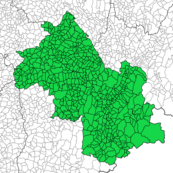
Taux de boisement en Isère – Millésime 2021 – Isère

Taux de boisement par commune .en 2021

Simple

Date (Revision)
2025-03-03T11:16:28
Date (Creation)
2025-02-20
Citation identifier
https://catalogue.open-datara.fr/geonetwork/srv/77fc09a6-211e-4a55-84d3-1ba5096d9059
Point of contact
Organisation name Individual name Electronic mail address Role

DDT 38 (Direction Départementale des Territoires de l'Isère)

Bureau SIG central et OBServatoires

ddt-simaje-sigobs@isere.gouv.fr

Owner
Place
  • RHONE ALPES

Departement Auvergne-Rhone-Alpes

  • ISERE

GEMET - INSPIRE themes, version 1.0

  • Occupation des terres

  • Usage des sols

  • Zones à risque naturel

Domaines

  • Grand public

  • DDT Isère

  • Spécification locale

  • Description

Use limitation

Licence Ouverte / Open Licence Version 2.0 https://www.etalab.gouv.fr/wp-content/uploads/2017/04/ETALAB-Licence-Ouverte-v2.0.pdf

Access constraints
Intellectual property rights
Use constraints
Copyright
Spatial representation type
Vector
Denominator
25000
Language

fre

Character set
UTF8
N
S
E
W
thumbnail


Supplemental Information

Département de l'Isère

Reference system identifier
EPSG / RGF93 / Lambert-93 (EPSG:2154) / 7.4
OnLine resource
Protocol Linkage Name
WWW:DOWNLOAD https://catalogue.open-datara.fr/geonetwork/srv/api/records/77fc09a6-211e-4a55-84d3-1ba5096d9059/attachments/image.png

image.png

WWW:DOWNLOAD:application/vnd.geo+json

https://catalogue.open-datara.fr/api/data/77fc09a6-211e-4a55-84d3-1ba5096d9059?srs=EPSG:4326

API Geojson

WWW:DOWNLOAD-1.0-http--download

https://catalogue.open-datara.fr/geosource/panierDownloadFrontalParametrage?LAYERIDTS=54464679

WWW:LINK-1.0-http--link

https://catalogue.open-datara.fr/rss/atomfeed/atomdataset/77fc09a6-211e-4a55-84d3-1ba5096d9059

Téléchargement direct des données

OGC:WMS-1.1.1-http-get-map

https://datacarto.open-datara.fr/wms?service=WMS&request=GetCapabilities

l_taux_boisement_s_038

OGC:WFS-1.0.0-http-get-capabilities

https://datacarto.open-datara.fr/wfs?service=WFS&request=GetCapabilities

l_taux_boisement_s_038

OGC:WFS-1.0.0-http-get-capabilities

https://datacarto.open-datara.fr/wfs/749140c8-0f17-4efd-a97a-a79448b1ac94?service=WFS&request=GetCapabilities

l_taux_boisement_s_038

WWW:DOWNLOAD-1.0-http--download

https://telechargement.open-datara.fr/download/77fc09a6-211e-4a55-84d3-1ba5096d9059

Accès au téléchargement des données

WWW:LINK-1.0-http--link

https://catalogue.open-datara.fr/geosource/consultationWMS?IDT=54464679

Accès à la visualisation des données

WWW:DOWNLOAD-1.0-http--download

https://catalogue.open-datara.fr/geosource/panierDownloadFrontalParametrage?LAYERIDTS=54464679

WWW:LINK-1.0-http--link

https://catalogue.open-datara.fr/rss/atomfeed/atomdataset/77fc09a6-211e-4a55-84d3-1ba5096d9059

Téléchargement direct des données

Hierarchy level
Dataset
Statement

Croisement des données Commune de la BDTopo et des données BDForêt (sauf lande et végétation herbacée (filtre)) avec calcul du taux de boisement par commune dans la table attributaire.

L_TAUX_BOISEMENT_S_038

Feature catalogue citation

Metadata

File identifier
77fc09a6-211e-4a55-84d3-1ba5096d9059 XML
Metadata language

fre

Character set
UTF8
Hierarchy level
Dataset
Date stamp
2025-04-14T08:19:41.110984Z
Metadata standard name

ISO 19115:2003/19139

Metadata standard version

1.0

Metadata author
Organisation name Individual name Electronic mail address Role

DDT 38 (Direction Départementale des Territoires de l'Isère)

Bureau SIG central et OBServatoires

ddt-simage-sigobs@isere.gouv.fr

Point of contact


Overviews

overview
Aperçu
overview

Spatial extent

N
S
E
W
thumbnail


Keywords

Domaines
DDT Isère Description Grand public Spécification locale
GEMET - INSPIRE themes, version 1.0
Occupation des terres Usage des sols Zones à risque naturel

Provided by

logo

Share on social sites

Access to the catalogue
Read here the full details and access to the data.

Associated resources

Not available


  •   About
  •   Github
  •